
Context: This lesson can act as a two-part stand-alone lesson for a middle or high school class, or as a singular introductory activity in a more comprehensive GIS class in an undergraduate setting. Students require little background knowledge beyond basic computer literacy.
Curriculum by:
- M. Cecilia Porter, Ph.D. Candidate, University of Calgary
- Dustyn Dryak-Vallies, STEM teacher, Trail Ridge Middle School
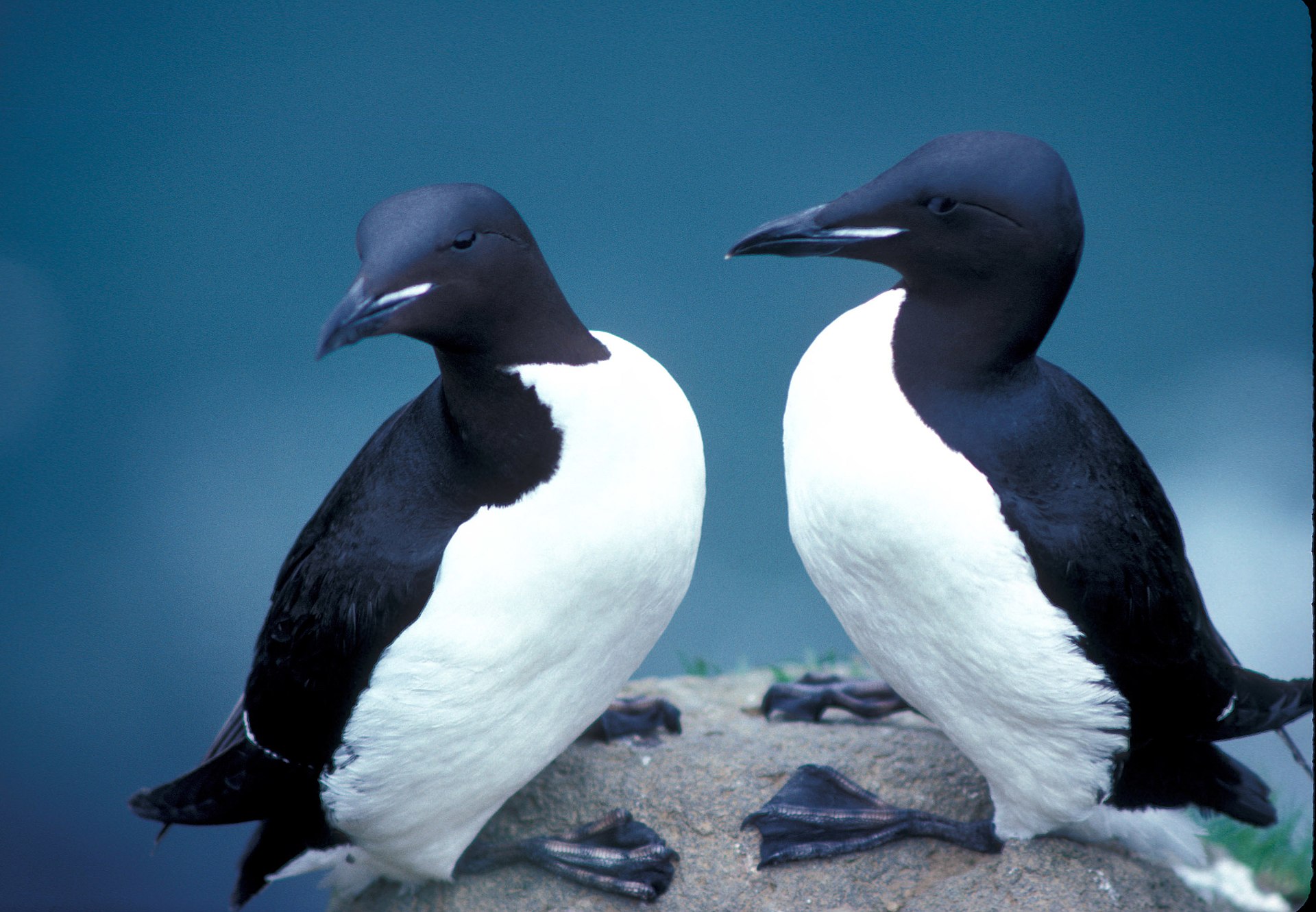
In this lesson, students will learn foundational skills for viewing and editing geospatial data using real-world examples. Using the colony locations of the thick-billed murre, a culturally important arctic bird, students will learn how to view point data, access and interpret the attribute table, and add new data points with attributes.
Learning Goals and Outcomes
Students will...
- Understand that data visualization helps people interpret the past and present
- Develop an initial model that describes thick-billed murre data from QGreenland
- Be able to: Turn data layers on/off, access and interpret a vector attribute table, and create new data by adding a point
Teaching Materials
Educator Guide (Google Doc)
Student Guide (Google Doc)
References
Gandhi, U. (2019). Working with attributes (QGIS3).QGIS Tutorials and Tips. https://www.qgistutorials.com/en/docs/3/working_with_attributes.html
UOSWildlife. (2021, May 5). QGIS- Adding data to point in the attributes table [video]. YouTube. https://www.youtube.com/watch?v=6hRBf1I2meU
User Note: These resources are provided as "View-only" Google docs. To make an editable copy of the teaching materials, select File -> Make a copy to save an editable copy your own Google or select File -> Download to download a copy to your computer in the format you prefer.

