Curriculum by:
M. Cecilia Porter, Ph.D. Candidate, University of Calgary
Dustyn Dryak-Vallies, STEM teacher, Trail Ridge Middle School
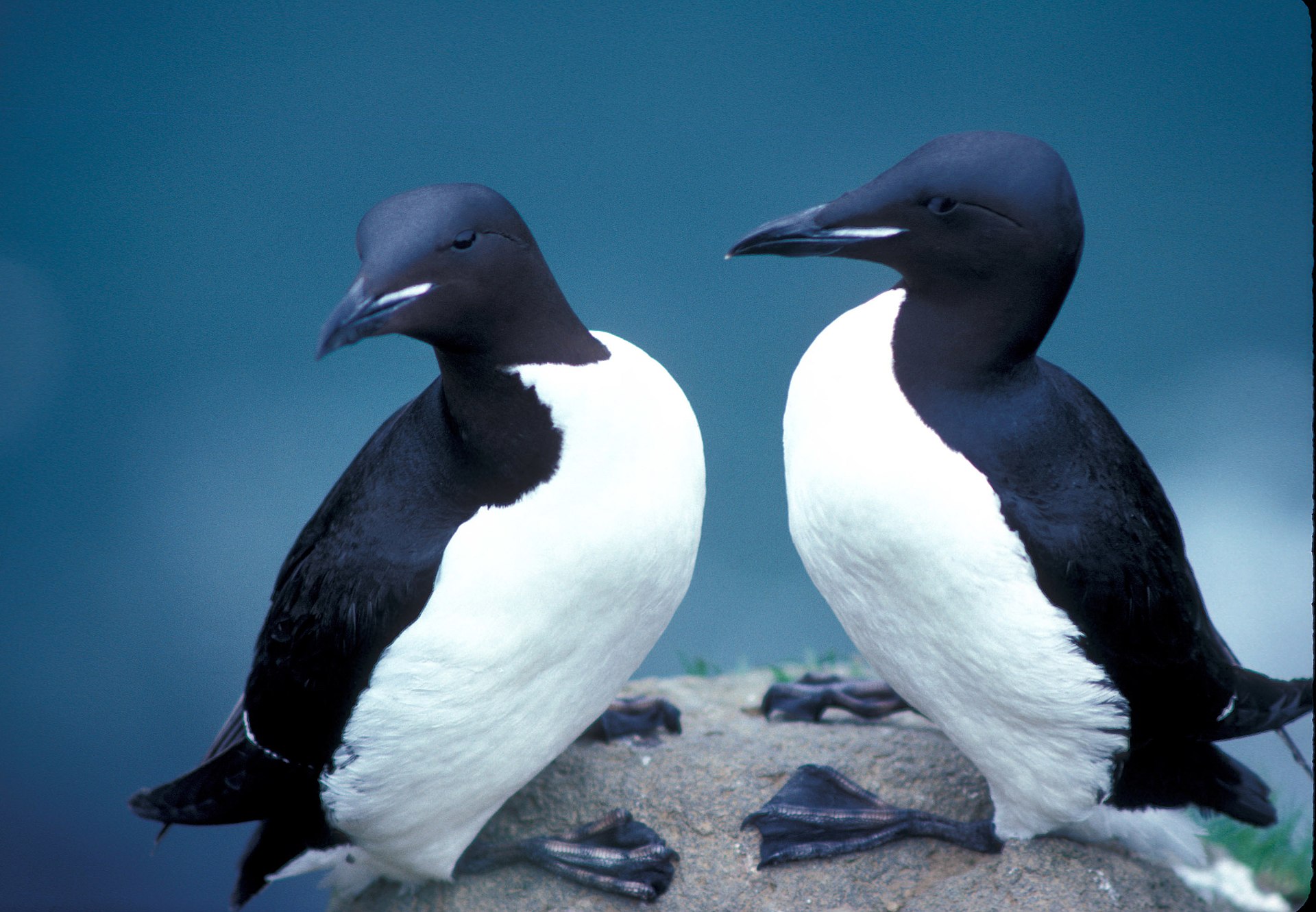
In this lesson, students will learn foundational skills for viewing and editing geospatial data using real-world examples. Using the colony locations of the thick-billed murre, a culturally important arctic bird, students will learn how to view point data, access and interpret the attribute table, and add new data points with attributes.
Learning Goals and Outcomes
Students will...
- Understand that data visualization helps people interpret the past and present
- Develop an initial model that describes thick-billed murre data from QGreenland
- Be able to: Turn data layers on/off, access and interpret a vector attribute table, and create new data by adding a point


